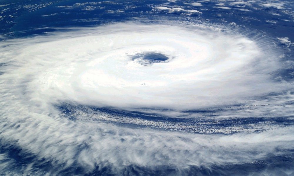
Wind speed could reach up to 100 km/hour when the cyclone makes landfall.
Bengaluru: Sixty-four rescue teams have been deployed across Odisha, Andhra Pradesh, and West Bengal which are likely to be hit by cyclone Jawad by tomorrow morning, said National Disaster Response Force (NDRF).
Awareness programs are being conducted at the coastal areas though since the region is not hit by rains yet, there is no evacuation process taking place currently, said an NDRF official.
A red alert warning has been issued from 8:30 a.m. on December 4 for 24 hours in the districts that are likely to receive isolated extremely heavy rainfall (more than 20cm) namely; Gajapati, Ganjam, Puri, and Jagatsinghpur.
The cyclone is in a deep depression stage over west-central and adjoining south Bay of Bengal. The depression is moving north-eastwards with a speed of 30 kilometers per hour, according to IMD, Bhubaneswar.
It will intensify into a cyclonic storm during the next six hours and will reach the west-central Bay of Bengal off north Andhra Pradesh and south Odisha coasts by tomorrow morning.
“The depression is caused due to the differences in temperature level at the sea and the land. When the temperature level of the sea is high and that of the land is low, the high pressure created at the sea starts moving towards the land leading to the formation of a cyclone,” said Dr. Krishna Raj, environmental economist.
Cyclones are regular and frequent as multiple depressions are formed leading to storms and floods he added. The intensity of the cyclone depends on the speed at which it travels which in turn depends on the temperature between land and sea.
Such cyclones are caused by global warming overall and they can be avoided if climate change is addressed with policies of litigation and adoption in various sectors including both industries and households, he further said.


